Support your visitors with navigation and information
MapsOutdoors helps improve visitor experience for events, festivals, tourism areas and other outdoor spaces by creating accurate, complete and easy-to-use digital maps.
MapsOutdoors helps improve visitor experience for events, festivals, tourism areas and other outdoor spaces by creating accurate, complete and easy-to-use digital maps.
It's not easy to communicate to visitors where everything is and how to get there.
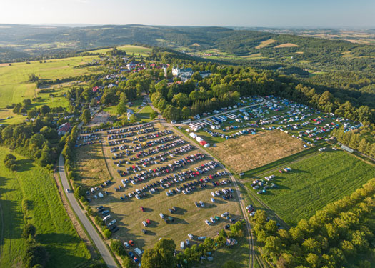
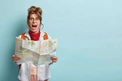
Traditional paper or PDF maps don't provide the detail or experience people want.
Expensive to print, can't make last minute changes and not great for the environment.

Limited features, it's good to look at but thats about it.

A map is the best way to communicate what and where, if you don't have one expect disappointed people and overworked staff.
MapsOutdoors provides all the information your visitors need and saves you costs and hassle on printing.
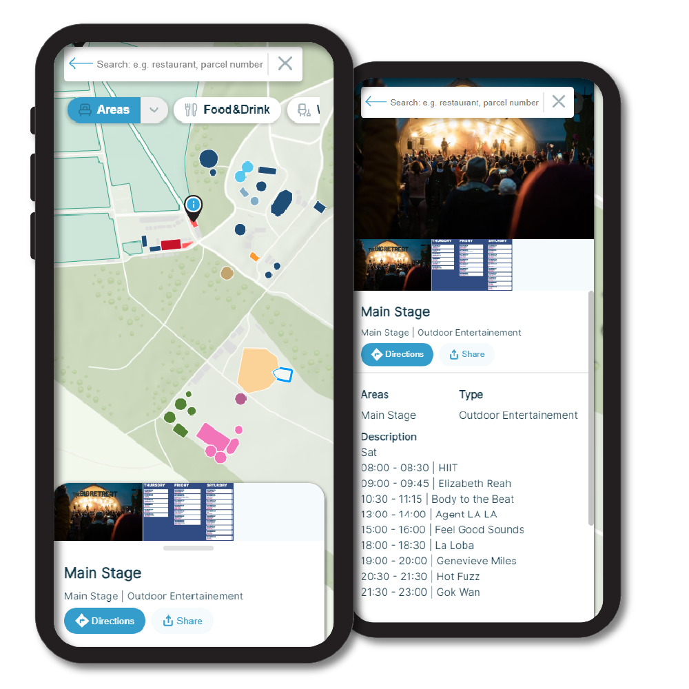
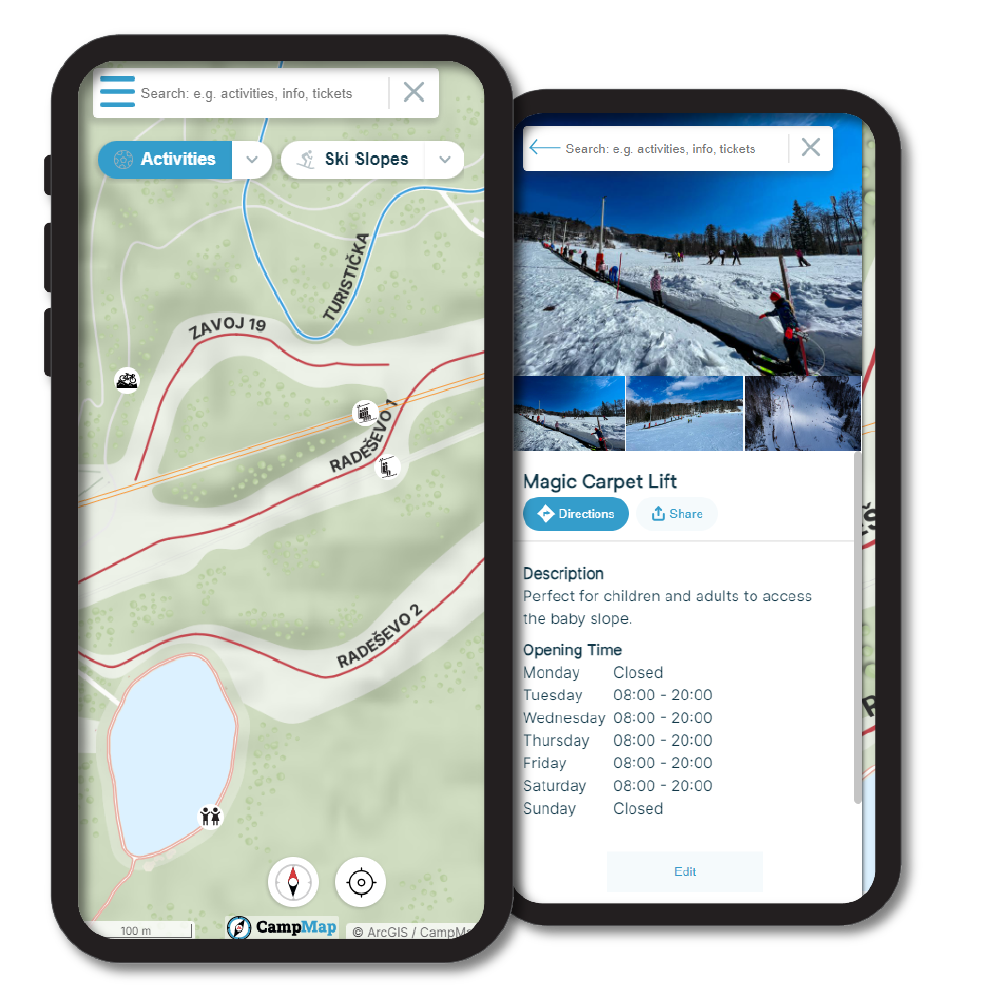
If your visitor needs to find something fast MapsOutdoors delivers with text search or dynamic filters.
Your visitors will never get frustrated or lost again with our turn by turn GPS navigation.
Pictures, descriptions, opening times and links are just some of the information we capture for every feature on your map.
MapsOutdoors works on any device, it can be updated anytime and you can embed it on your own website or app.

MapsOutdoors is a web platform which means there is no App or anything to install - it works on any device and its fast.
Visitors want more information when deciding to visit you - standard images are OK but our 360° photos deliver the best experience and makes that decision easy.
Allow your visitors to book events, food or even accomodaiton directly in your map. Our booking connector can connect to any system you are already using.
It's easy to add your map directly into your own website or app. We can even connect to an event management or other property management system if required.
Notify your visitors about important events such as: bad weather, changes to facilities, emergencies or offers.
We've made it super easy to share the map and all information within it, share on social media or your marketing material, we can even create a printable version.
Things change over time and we are here to help - either planned updates or last minute changes we'll get your map updated quickly and at no extra cost in Standard and Premium subscriptions.
Allow visitors to access the map in seconds on their tablet or smartphone by scanning QR codes on site.
The first step to getting your own digital interactive map is to reach out to our team, the best way is to arrange a demo using the button below. If you prefer to get more information via email or over the phone then:
hello@mapsoutdoors.io
EU: +385 51 350 593|US: +1 302-803-4183|UK: +44 1224 014134
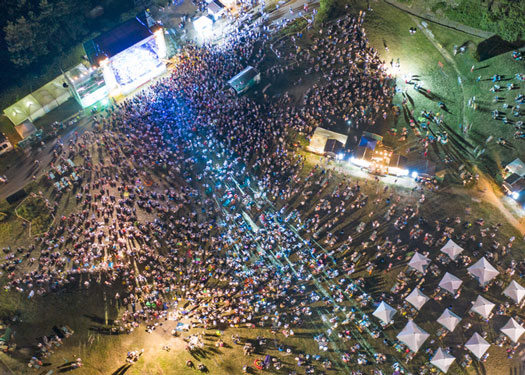
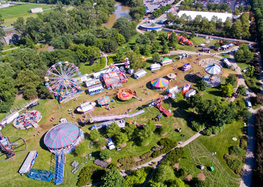
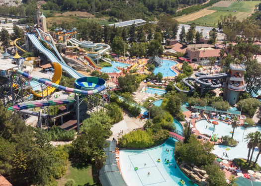
More than 100 businesses in 10 countries trust our maps to improve visitor experience and reduce staff workload. Check out the maps of some of our customers below:
MapsOutdoors is an annual subscription service with three levels to choose from. We also charge a one time on-boarding fee to create your map. Our customers come in all different sizes and levels of complexity and therefore we need to learn more about your needs to give you an accurate price, however the values provided below are a good starting point.
| Basic | Standard | Premium | |
|---|---|---|---|
| Map & Editing | |||
| iFrame & Logo | |||
| Photo per feature | 1 | 3 | 10 |
| Customer Support | |||
| GPS Navigation | |||
| Map Updates | 6h | 12h | |
| Printable Map Image | |||
| Custom Map Elements |
Boost marketing and web conversion by providing all the information needed for people to decide to visit you.
Book a demoImprove experience by providing features such as search and GPS navigation to your visitors on their smartphone.
Book a demoEnabling visitors to help themselves saves your staff time and reduces operating costs.
Book a demoMapsOutdoors is part of CampMap, the leading mapping technology in outdoor hospitality. You can find full details of our team on the CampMap website here.